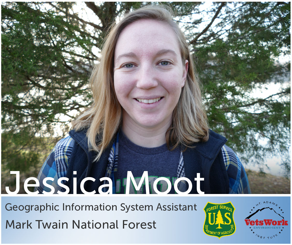
Hi my name is Jessi and I currently work on the Mark Twain National Forest at the Supervisor’s Office in Rolla, Missouri. My primary duty in the VetsWork program is to assist with Geographic Information Systems (GIS). Until I am able to complete GIS training, I was able to travel around and experience a myriad of jobs performed at the Supervisor’s Office. So far I’ve had the opportunity to participate in a walk through for a Best Management Practice (BMP) assessment of a recently completed timber sale. The Supervisor’s Office of each forest is responsible for conducting the BMP assessments to ensure compliance with federal regulations, specifically the Clean Water Act. The assessment site was a completed timber sale where we inspected for any deposition of sediment into known or potential water paths. Several subject matter experts were included in this walk through from surrounding districts of the sale location. Seeing this integrated effort to evaluate effectiveness of preventative or reclamation efforts on the forest is intriguing. Now this isn’t the fast paced, critical, headline grabbing work like firefighting, but it is important to see the commitment to holding our contractors to a high standard and protecting the water resources that flow through our forests.
The most interesting field days I have had so far in my internship was helping run a ground penetrating radar machine to determine a location of a building. Very few forests have the access to this technology for archeological work. We were fortunate enough to have an archeologist from a forest in Louisiana bring the equipment to Missouri. The goal of using this equipment was to survey an area where an important piece of history occurred to add to supporting documentation to register the area as a historical site. This location we surveyed was where Celia, a slave to the Newsom family, committed murder in efforts of self-defense from abuse at the hands of her owners. This event caused controversy and shaped how courts would rule these types of crimes involving slaves. Unfortunately in the 1850s, Celia was hung for her crime as the State court of Missouri determined that because she was property she did not have the same rights to defend herself as a white woman would be able to in that situation.
The Mark Twain National Forest owns the property today and the only visible items on site is a well and the Newsom family cemetery. After the family left the area the brick building of the main house was disassembled and used to build other buildings in the nearby town. Some of the foundation stones are visible if foliage is removed. Only a few are in the original locations, the other have been pushed out of the way for mowing operations.
The goal of this survey was to find the location of the slaves’ quarters, specifically where Celia lived and possibly committed the murder. We scanned two acres of land pushing from each end of the 50 foot box, and every pass of the equipment was 50 cm apart. We had to mark the 50 cm increments for the entire distance. We were lucky enough to have a beautiful sunny Missouri day, however that also meant the ticks were out in full force. This equipment can scan the earth up to five feet deep, results often vary depending on soil type and accuracy of data collection.
Initial results: After the equipment was taken back to Louisiana the operator was able to run the initial run of the data and we were lucky enough to find faint outline that could be the location of Celia’s quarters. The results were faint but additional processing of the data still needs to be completed to see clearer results.
This was a unique project I was able to be a part of and if it wasn’t for the VetsWork internship I would have not experienced it. My future posts will likely not be as field focused but detailed explanation of the trials and tribulations of ArcMap and GIS data analysis.

